| China released microwave remote sensing images of Gaofen-3 | The current page: Home -> News |
Source: SASTIND Date:2016/08/25
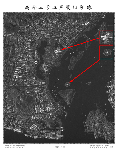
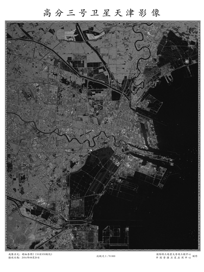
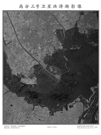
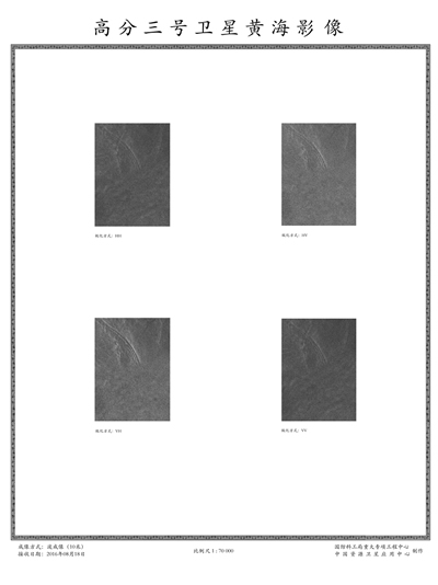
China released microwave remote sensing images of its high-resolution Synthetic Aperture Radar (SAR) imaging satellite(Gaofen-3)which was launched in Aug. 10. As China's first SAR imaging satellite that is accurate to one meter in distance, it covers the globe with an all-weather, 24-hour observation service and is used for disaster warning, weather forecasting, water resource assessments, and the protection of maritime rights.
 |
 |
Beijing Capital International Airport |
Xiamen City |
 |
 |
Tianjin City |
Hongze Lake |
 |
 |
The Yellow Sea |
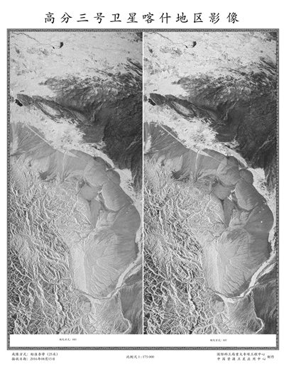
Kashi area |
 |
 |
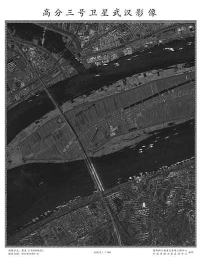
Wuhan City |
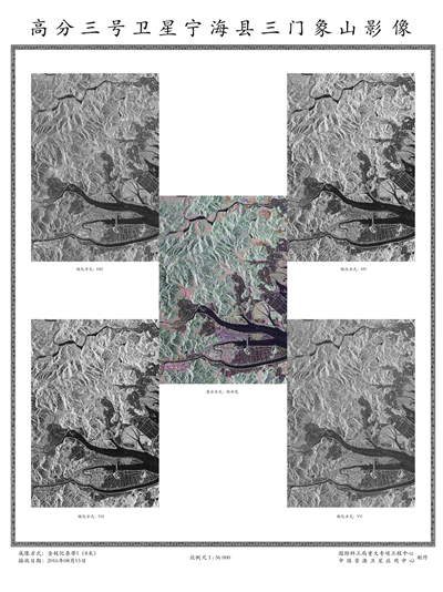
Sanmenxiang Mountain of Ninghai County |
Date:2016-08-26

